
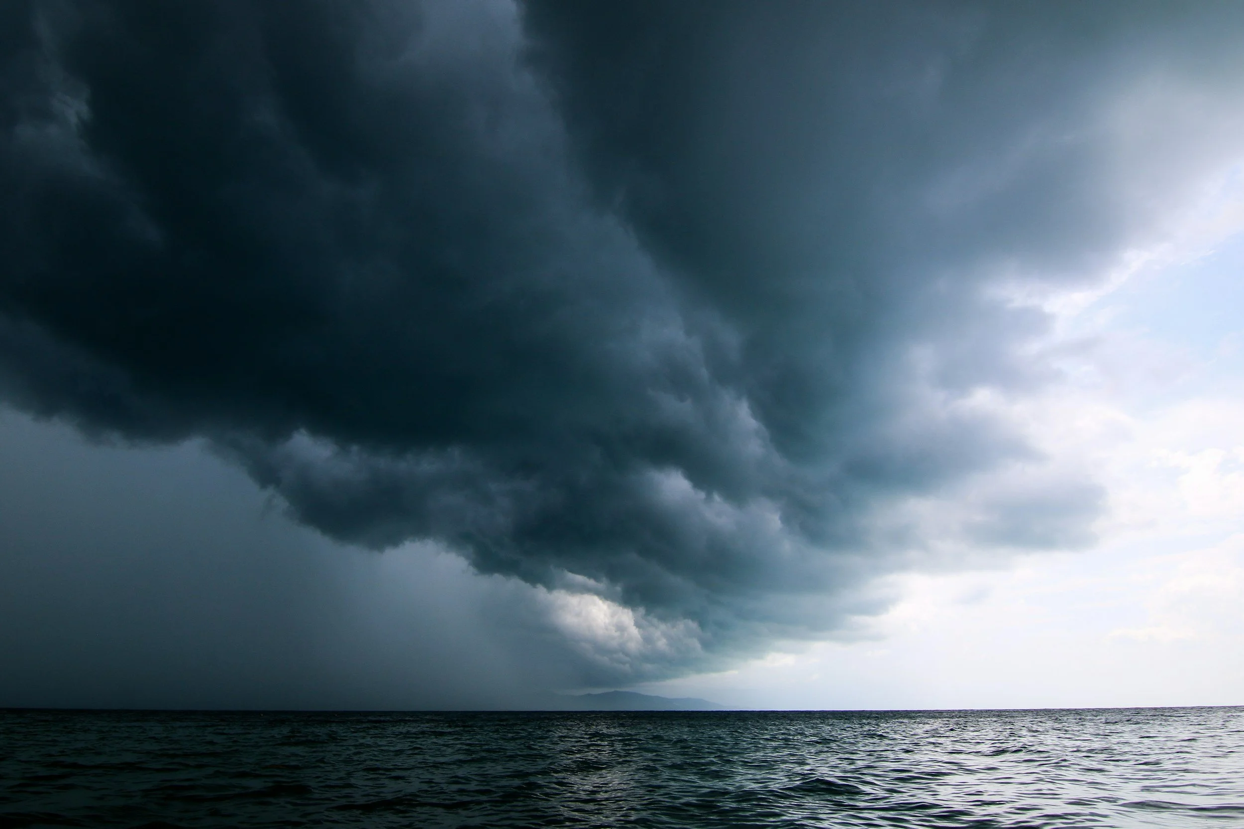
A series of atmospheric river storms is rolling into the Pacific Northwest and Northern California this week, from November 9 through 14. Parts of western Washington could see more than 12 inches of rain, with rates of one to two inches an hour at the peak, according to AccuWeather. Meteorologist Jean-Marc Rampersad said the risk of major flooding stretches from southwestern Washington to Northern California in the second half of the week.
The storms are arriving at the same time the tropical Pacific is running hotter than forecasters have seen in decades. NOAA's Climate Prediction Center gives an 83 percent chance that this El Niño becomes the strongest on record since 1950. For emergency managers, this is the week El Niño flooding moves from a forecast to a planning priority.
To the families in the path of this week's storms, and to the crews out working through them, stay safe.
This Week's Storms, and the Burn Scar Risk
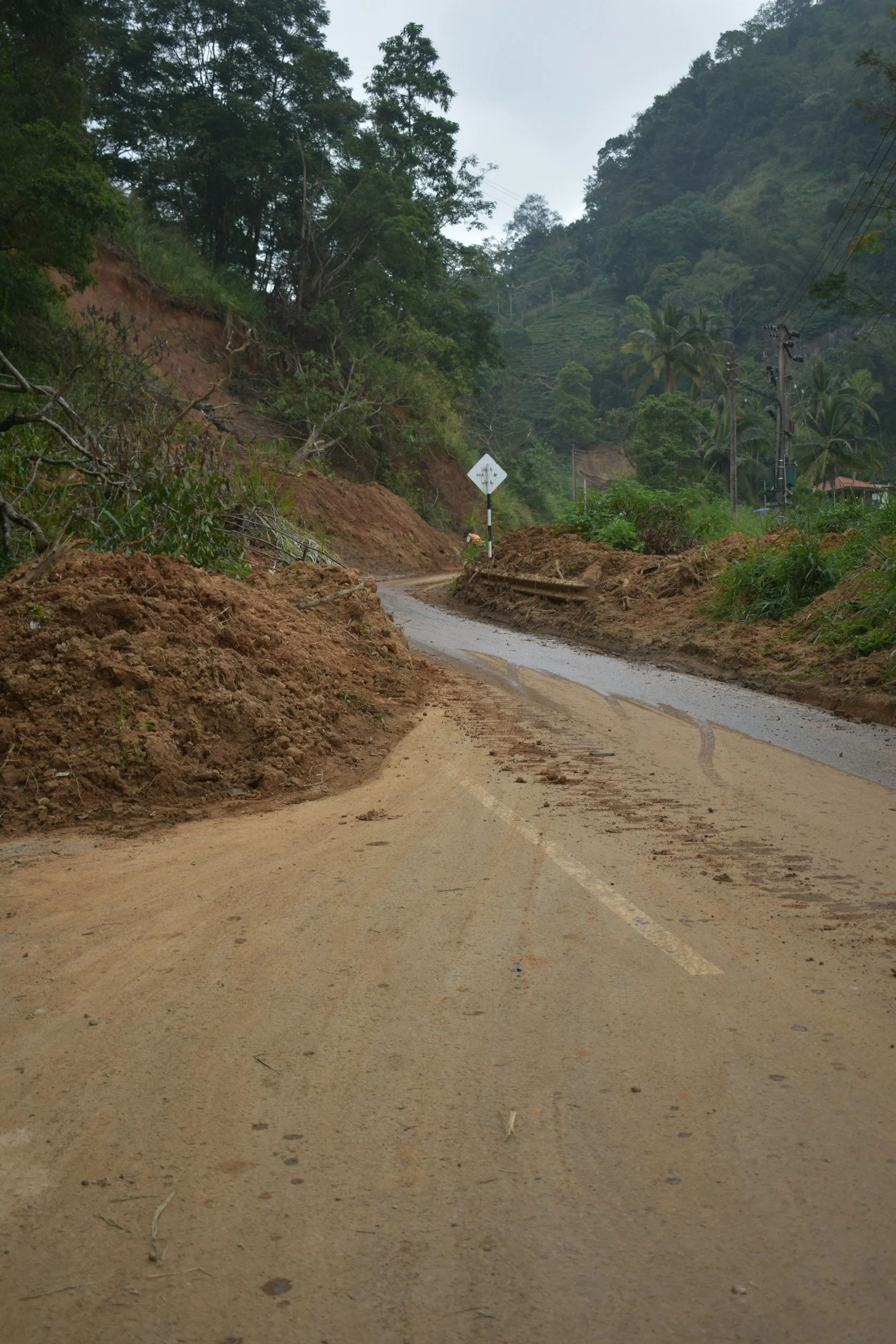
The Climate Prediction Center flagged a moderate risk of heavy precipitation and high winds along the West Coast from November 11 to 15, with heavy snow possible at higher elevations of the Klamath Mountains and Sierra Nevada.
One concern deserves extra attention. Areas burned by recent wildfires face a higher risk of mudslides and debris flows, because scorched slopes can't absorb water the way healthy ground does. This year's fire season burned more than 9.3 million acres nationwide, according to the National Interagency Fire Center, and many of those burn scars sit in the Northwest and California. Residents near them should know their evacuation routes before the heaviest rain arrives.
NOAA hasn't tied these specific storms to El Niño. But they're a clear preview of the kind of winter forecasters expect.
What a Record El Niño Could Bring
In its October update, CPC reported a Niño-3.4 reading of +2.1°C and put the odds of a strong-to-very-strong El Niño through January to March 2027 at greater than 83 percent. CPC was careful to add that impacts consistent with El Niño "are larger, though not guaranteed."
NOAA's U.S. Winter Outlook, released October 15, favors wetter-than-average conditions from the Southwest through the southern tier and into the Southeast, then north along the East Coast. In parts of the extreme Southeast and northern Florida, the odds of above-normal rain for January through March top 70 percent.
"Too much precipitation on dry soil can fuel destructive flash floods and mudslides," National Weather Service Director Ken Graham said, urging communities to "plan ahead for the upcoming winter."
The Southwest already got a taste of that. In late October and early November, roughly two weeks of storms dropped an estimated 20 trillion gallons of rain on the Four Corners states and Nevada. We wrote about how those floods left families waiting on disaster housing.
NOAA's next seasonal update comes out November 19, and the El Niño is expected to peak in late November or December.
A wet winter can refill reservoirs and ease drought. It can also push families out of their homes in a single night.
Where Housing Plans Should Focus
The communities most at risk this winter include neighborhoods below fresh burn scars, low-lying areas near rivers and washes in the Southwest, and the Gulf Coast and Florida, where recovery from Hurricane Isaias is still underway.
For agencies, the questions to answer before the next big storm are practical ones. Which communities would need temporary housing if a river crested or a hillside gave way? How many households could that be? And who would you call to find furnished units nearby once hotels fill up?
It also helps to know which programs open under which declarations. An emergency declaration supports protective measures. Housing help for families with damaged homes usually waits for a major disaster declaration, and that can take weeks. A bridge plan, plus a disaster housing partner pre-qualified under NAICS 624230, keeps families from falling into that gap.
What Families Can Do Now
Households in flood-prone areas can take a few simple steps. Check whether your homeowners or renters policy covers flooding. Most standard policies don't, and NFIP flood policies generally take 30 days to go into effect. See whether your coverage includes additional living expenses, so you know what's covered if you have to leave home for a while. Keep important documents together where you can grab them fast.
Your Easy Button for Emergency Housing
When a storm displaces a community, Lima Charlie Inc. works with federal, state, county and city emergency agencies to line up furnished, move-in-ready emergency response housing for displaced families and response crews. We're a service-disabled veteran-owned small business with federal prime contract experience, and we give you one point of contact from the first call to the last move-out.
Our team has helped place more than 37,000 households across 12+ states and territories. We hold active DoD and government contracts, and we're staffed live 24/7, because storms don't wait for business hours.
If El Niño is on your planning agenda this winter, let's talk before the next storm does.
📞 Call (888) 418-4773 or reach out online. A real person answers every time.